A mile and a half, three miles round trip, up and then down a mountain: No problem, right? Here’s what Kevin Myatt, The Roanoke Times hiking expert says about Sharp Top…
“A rather steep ascent, but not that long. Many folks of all ages and fitness levels hike this trail almost each day in the warm seasons. Hikers in shape should have little trouble and those in not such good shape will get a needed workout.”
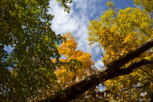
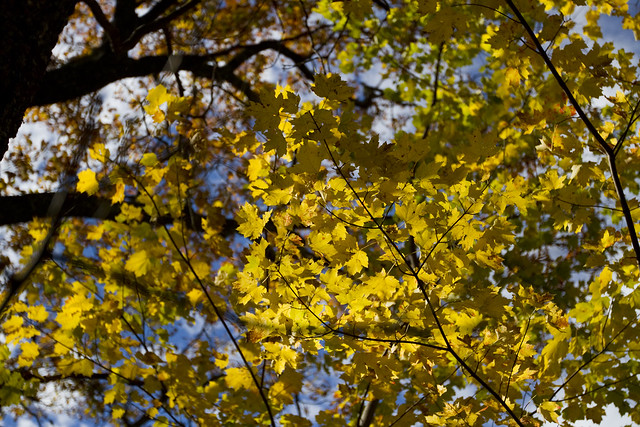
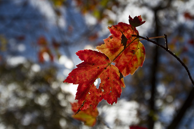
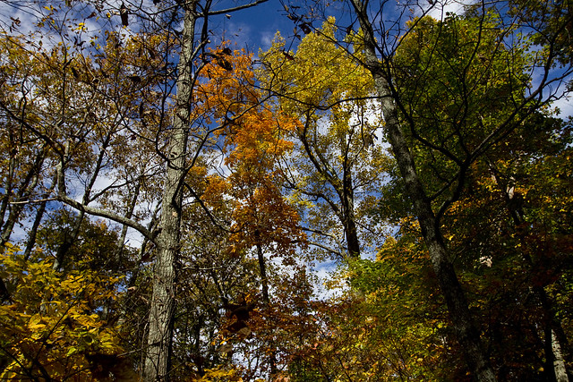
I was definitely in the latter group of that statement. It also took more like 2.5 hours instead of the 1.5 hours boasted in the trail info. But, a beautiful — and humbling — hike up to the summit in an area off the Blue Ridge Parkway called the Peaks of Otter did, however, yield a lot of great outdoorsy pictures of leaves and mountains…


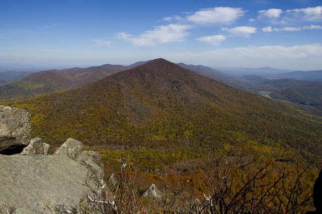
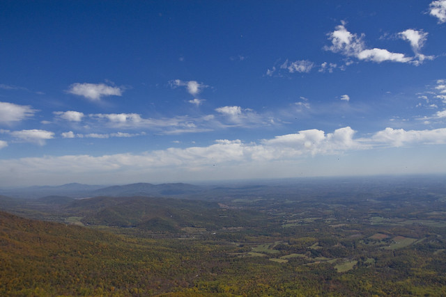
From the summit
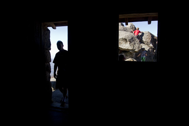
(I don’t know these people)

(I don’t know these people either, but it seemed like a really sweet moment)
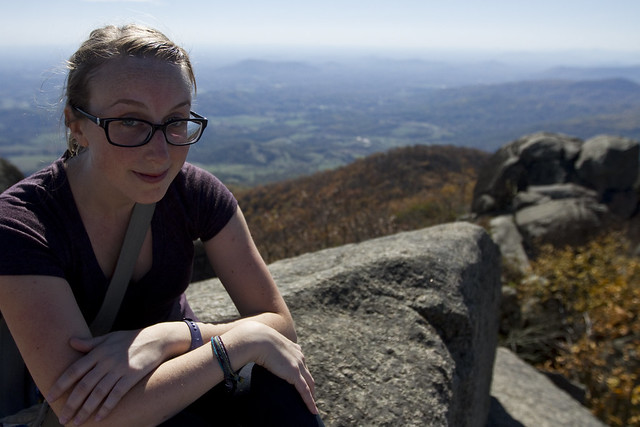
Me, pretty much dead tired and sweaty at the summit.
Here are some stats about Sharp Top:
- Location: Peaks of Otter Recreation Area, Blue Ridge Parkway, mile marker 86.
- Length: 1.5 miles one-way (3 miles round-trip)
- Elevation: 2,535 at trailhead to 3,875 at summit
- Gottasee factor (scenery, scale 0 to 4): of 3.5.
- Gottabreathe factor (difficulty, scale 0 to 4): of 3